|
|
 Issue 6: Winter 2003 Issue 6: Winter 2003
|
DOT-COM HOME https://dot-com-alliance.org/index.htm
Contact Us https://dot-com-alliance.org/contact.htm
|
|
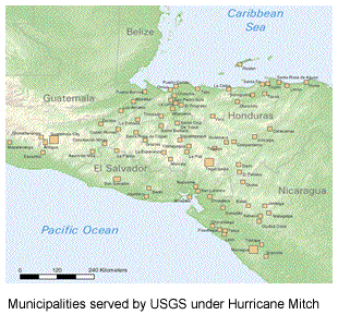
Using GIS for Analysis and Research in Central America: dot-ORG
In July 2003, the US Geological Service (USGS) through the EROS Data Center has invited dot-ORG to participate in the new Mesoamerican and Caribbean Geospatial Alliance (MACGA). This initiative seeks to increase the use of geographic information systems (GIS) through compatible mapping standards among mapping resource organizations in Central America.
Compatible maps will allow development agencies, such as USAID, to create maps on regional indicators such as municipal government cadastres, analysis of forest coverage change and population growth, land management and titling issues, distribution of health posts and school performance.
 In its first of three phases, twenty five participants from mapping agencies from across the region will attend a hands-on workshop in Panama City in November 2003. The workshop will train senior technical staff from these organizations in the key aspects of GIS applications. The workshop will be referencing the lessons learned under the Global Map Project http://www.iscgm.org. In its first of three phases, twenty five participants from mapping agencies from across the region will attend a hands-on workshop in Panama City in November 2003. The workshop will train senior technical staff from these organizations in the key aspects of GIS applications. The workshop will be referencing the lessons learned under the Global Map Project http://www.iscgm.org.
A second and third phase will consist of follow-up activities and onsite assistance.
A MACGA stakeholders meeting is scheduled in Panama City on November 21st and 22nd to discuss Alliance work plan, next steps and specific pilot projects. An invitation to USAID officers from the region are being invited to participate in this event.
AED/dot-ORG signed a collaborative agreement in September, 2003. AED's support to this program is funded by USAID/EGAT/EIT/IT under the dot-ORG Leader Award No.GDG-A-00-01-00014-00.
|
|
|

|
|
|
|
| Core funding for the DOT-COM Alliance is provided by the United States Agency for International Development (USAID), Bureau for Economic Growth, Agriculture & Trade, Office of Infrastructure and Engineering (EGAT/OI&E), Office of Education (EGAT/ED), and Office of Women in Development (EGAT/WID), under the terms of Award numbers: GDG-A-00-01-00009-00, dot-GOV; GDG-A-00-01-00014-00, dot-ORG; GDG-A-00-01-00011-00, dot-EDU. |
© dot-com-alliance. All rights reserved.
The views expressed in this publication do not necessarily reflect the views of the United States Agency for International Development or the United States Government.
Privacy Policy: https://dot-com-alliance.org/policy.htm
Accesibility: https://dot-com-alliance.org/policy.htm#accessibility
Webmaster: [email protected] |
|